Informative for local history researchers and genealogists - © 2021

|
back |
 |
|
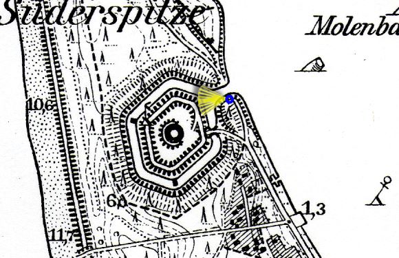
The Nehrungsfort / Wilhelmsfort. | |
| Corresponding image no.: | 000271 |
| Source of this map: | Topographische Karte 1:25000, 0292 Memel, Preußische Landesaufnahme 1912, Berichtigungsstand: 1940. © Bundesamt für Kartographie und Geodäsie 2004 |
|
|
back |