Naudinga gimtinės ir šaknų ieškančiam - © 2021

|
atgal |
 |
|
Fliegeraufnahme aus 200 m Höhe. | |
| Vaizdas Nr.: | 005507 |
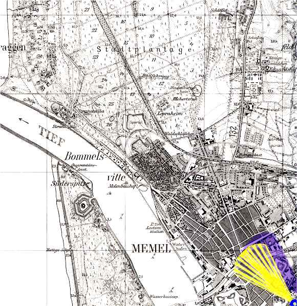
| Šaltinis: | Topographische Karte 1:25000, 0292 Memel, Preußische Landesaufnahme 1912, Berichtigungsstand: 1940. © Bundesamt für Kartographie und Geodäsie 2004 |
|
|
atgal |